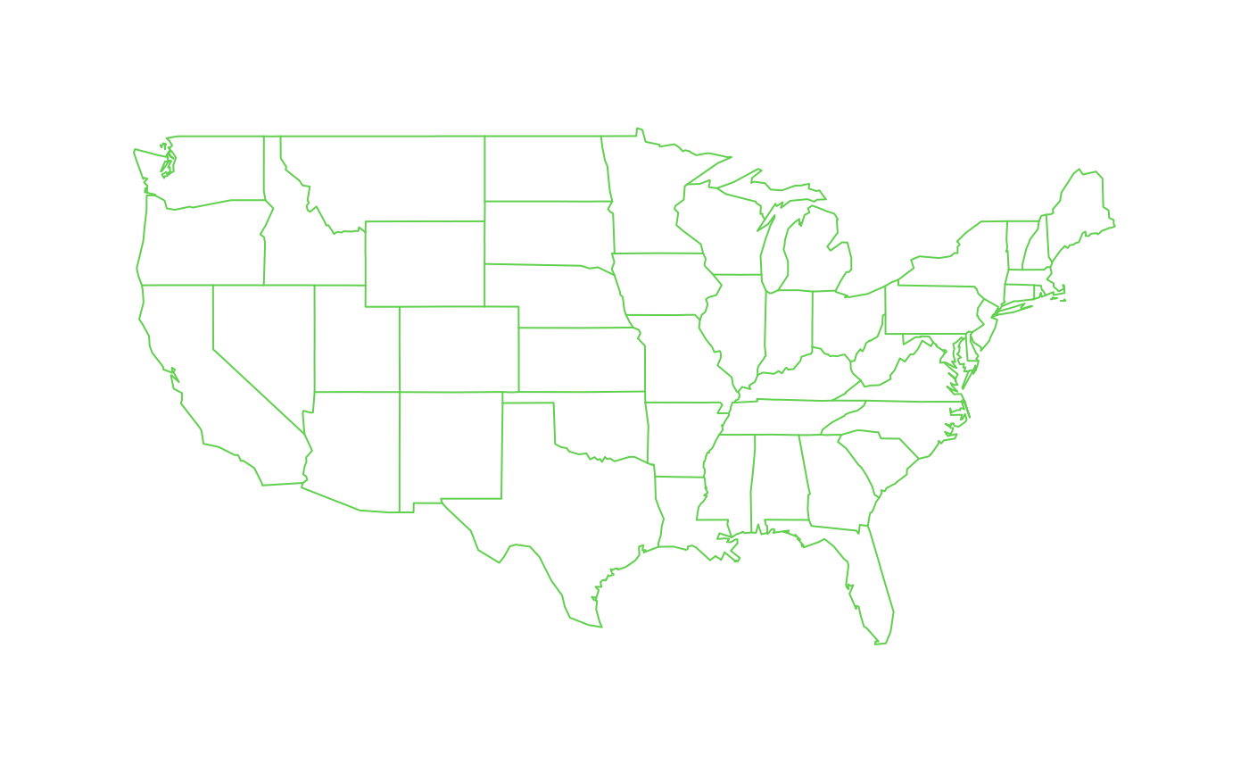
Plot of the US with state boundaries
US.RdPlots quickly, medium resolution outlines of the US with the states and bodies of water. A simple wrapper for the map function from the maps package.
US( ...)Arguments
- ...
These are the arguments that are passed to the map function from the maps package.
Details
The older version of this function (fields < 6.7.2) used the FIELDS dataset US.dat for the coordinates. Currenty this has been switched to use the maps package.
See also
world
Examples
# Draw map in device color # 3
US( col=3)